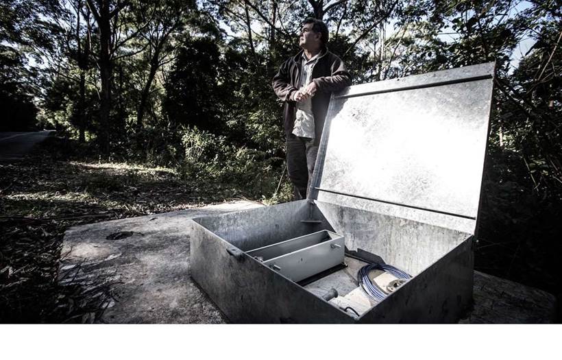
University of Wollongong geologist Dr Phil Flentje is monitoring landslide activity in the Illawarra and Sydney basin areas using a network of sensors attached to steel cables.
The steel cables run from enclosures located at the surface to a depth of 21 metres below and are designed to “detect even the slightest movement in soil”, according to Dr Flentje.
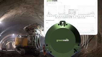
Sensors attached to the steel cable and housed in the box on the surface log temperature, rainfall, wind and underground water pressure, in addition to soil movement.
Data is logged every hour and sent back to a central server, from where Dr Flentje and his team can access it in “near real-time”.
Excess soil movements trigger alerts
“The ground is often moving in minute amounts, but periodically there are thresholds or triggers that make us pay particular attention to the data from the monitoring sites,” he said.
“For example, a couple hundred millimetres of rain in a 24-hour period would be a concern. We have certain thresholds for 30, 60 and 90 day periods as well.”
The researchers have amassed a number of years’ worth of data, and it is used by infrastructure asset managers and urban planners.
“With 300,00 people living in the wider Illawarra area next to the escarpment, land needs to be managed and planned with respect of this natural instability,” Dr Flentje said.
"It’s critical that we manage landslides as best we can.
“Our digital landslide maps are used to help develop landslide susceptibility maps to help local government manage ongoing developments.”